Rocscience | RSLog - From a Thought to a Web App Sponsored
by Alireza Afkhami, M.A.Sc., M.C.P, P.Eng.
We are living in a digital world. Technology's rapid progress in recent years has made our lives more digitized than ever. Entangled with smartphones, apps, and cloud backups, we trust this technology to take care of our most sensitive data - from bank accounts and addresses to our personal health information. All of this information being available on our devices wherever and whenever we need it is the convenience that technology provides.
In general, the civil engineering industry has always received the benefits of technological advancements with a few years of delay. When it comes to geotechnical engineering, we use various computer programs for engineering analysis, data processing, and presenting results. However, some of the most popular programs in our field which have been around for over 20 years have seen few updates or improvements.

As a geotechnical engineer, having worked with several consulting engineering firms over the last two decades, I noticed that most companies are dealing with the same kind of issues regarding drafting boring logs, software licensing, and accessing their past projects, etc. This especially becomes a bigger problem when dealing with a large number of projects over time. Today, in 2022, this is still an issue that most geotechnical consultants are dealing with. I have seen companies use anything from Excel sheets to Google Earth in order to maintain an up-to-date list of the projects and their associated boreholes.
To address this problem, I started designing a cloud-based borehole management application in 2019. One of the biggest advantages of using a web application: your data is available to you wherever you are; accessible on any smart device, at any time of the day. This resolves a major part of the aforementioned problems that engineers have with software licensing and accessing project-related data.
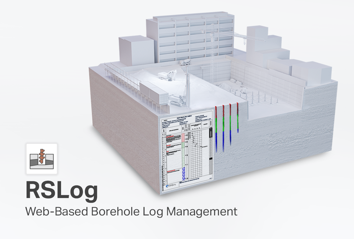
Over the last three years, my team and I have worked on creating RSLog - a web application that can process your field and lab data, and run engineering analyses online. RSLog gives you the ability to search within a geographic area for specific borehole data (through all your projects), generate reports to share with colleagues and clients, view 3D subsurface models of your site, and more.

Our vision for RSLog is a ‘strong core’ for user authentication and data management which serves various independent components such as geotechnical borehole logging, mining features, 2D and 3D cross-section designer, and engineering analysis. This ‘core’ will soon support international data exchange formats such as AGS and DIGGS, as well as integrations with other Rocscience programs.
RSLog is now available for you to try out and I am excited about how you will benefit from this program. Click here to get your 30-day free trial license. As you have come to expect from Rocscience, we will continue to pack in more features to make RSLog your go-to geotechnical data management program.
Upcoming Webinar - We have a webinar scheduled on February 23rd, 2022 to showcase the latest features, applications, and a demo of RSLog. Sign up for the webinar here.
Want to read more like this story?

Rocscience | RSLog & Geosetta Integration: Easier Access to Historical Subsurface Data
Apr, 19, 2023 | NewsSubsurface exploration is a fundamental phase of all geotechnical projects. Although subsurface dat...

Rocscience | RSLog: Convenient Borehole Log Management with a Simplified Licensing Option
Feb, 21, 2023 | NewsRSLog is a web-based application, therefore it operates differently than our desktop programs and...
Simplifying Geotechnical Workflow: How RSLog Transforms Borehole Logging & Data Collection
Oct, 10, 2025 | EventJoin us for an exclusive webinar to discover how RSLog transforms the way geotechnical professional...

RSLog
Jul, 12, 2022 | Software
Digitize Your Past: Modernizing Borehole Data Management with RSLog
Oct, 16, 2025 | EventUnlock the full value of your borehole data archives! Join our live webinar to learn how RSLog simp...

Using AI, RSLog’s New Optical Character Recognition (OCR) Feature Digitizes Paper Borehole Logs
Jun, 13, 2024 | NewsThe new groundbreaking Optical Character Recognition (OCR) feature in RSLog, Rocscience's cloud-bas...

Bentley’s OpenGround Cloud Platform: Increase the Value of your Geotechnical Data
Jul, 21, 2020 | NewsOpenGround Cloud, Bentley's secure enterprise cloud collaboration platform for geotechnical data ma...

Bentley Webinar: Advance your digital workflow with OpenGround
Aug, 27, 2021 | EventJoin Katie Aguilar, Application Engineer, Kyle Hao Shen, Product Advancement Engineer and Seequent...

Rocscience | RSLog now integrates with Slide2 and Settle3
Jan, 18, 2023 | NewsRSLog is Rocscience’s easy-to-use web-based borehole log application. It allows users to log their...
Form
Looking for more information? Fill in the form and we will contact Rocscience Inc. for you.
On This Day
August 2nd 1982
READ MORE
Trending

Tiebacks vs. soil nails: Choosing the right earth retention solution
When Dams Fail: The Growing Crisis of Tailings Management
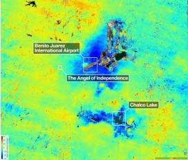
Mexico City’s sinking crisis mapped by next-generation satellite
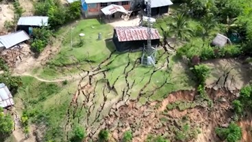
Landslide in Northern Peru Forces Evacuation of Over 170 Residents
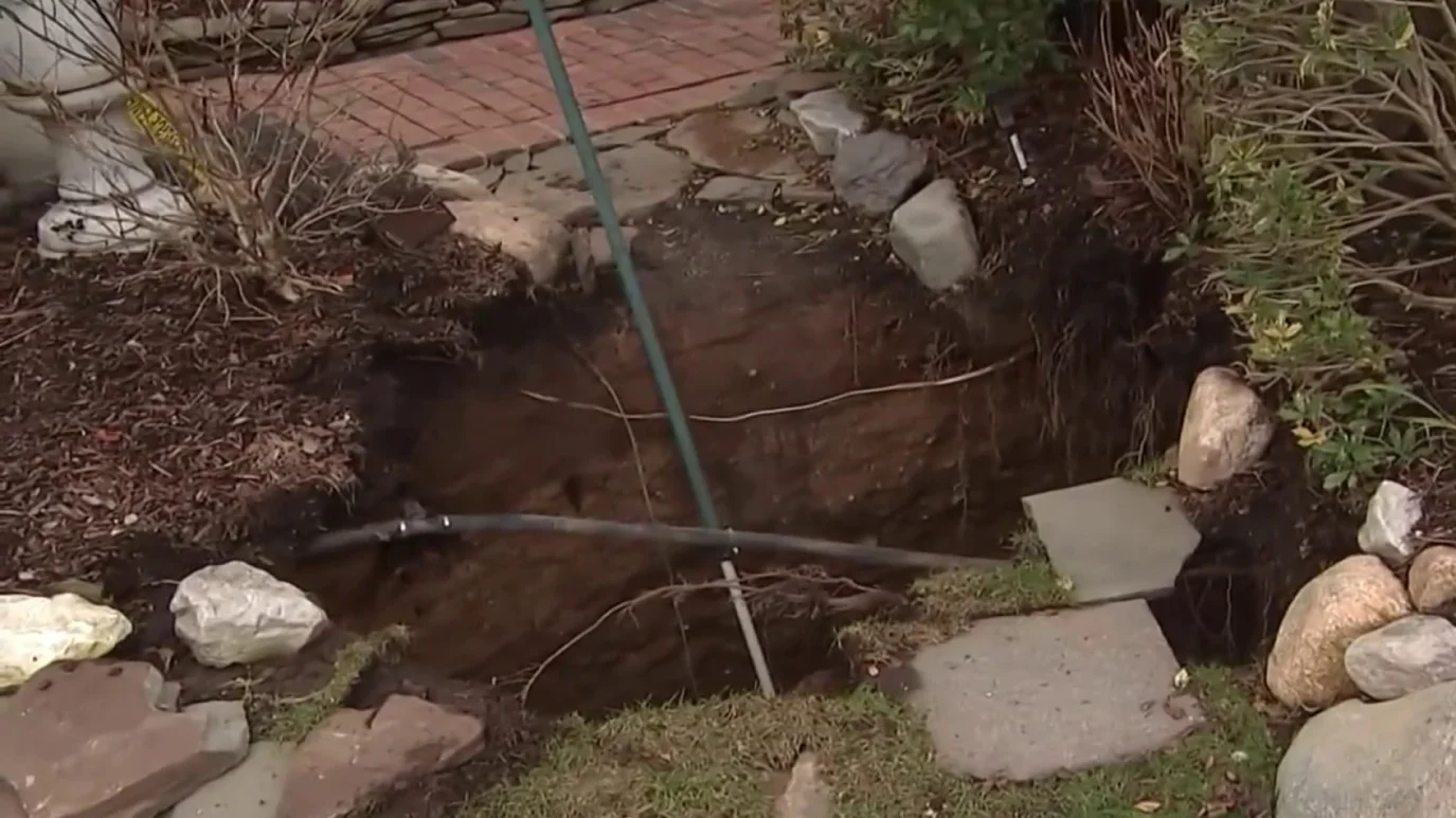
Sinkhole outside home in Huntington Station, on Long Island: 3 fall into

Stop Guessing, Start Designing: Introducing Support Designer in Slide2
Development program prepares new engineers for success