Layered seabed geology changes how subsea cables should be protected
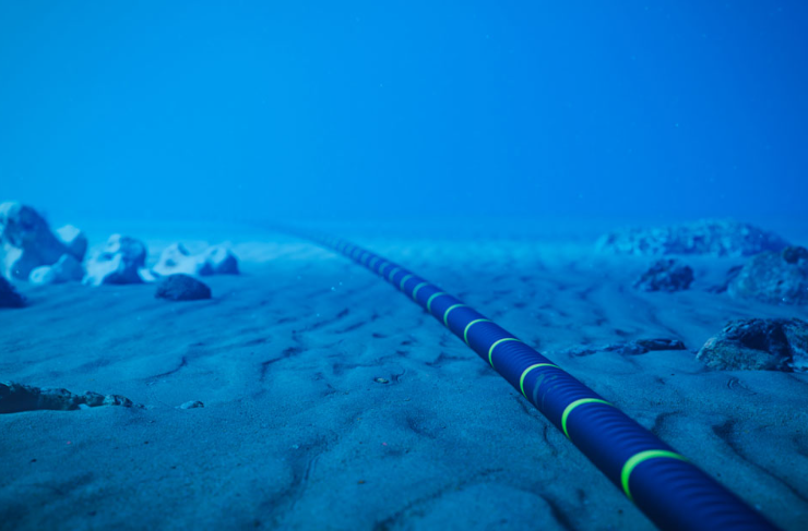
The weakest part of a subsea cable route is not always the cable itself. Often, it is the ground model used to decide where and how the cable should be buried.
New research by the British Geological Survey, Durham University and the University of Dundee has shown that the shallow seabed of the North Sea is far more variable than many cable burial assessments assume. The study focused on the upper 2 m below seabed, the critical zone where power and telecommunications cables are usually installed to protect them from anchors, fishing gear, erosion and other hazards.
Using more than 12,000 geological and geotechnical records from BGS archives and the Crown Estate Marine Data Exchange, the researchers created a detailed regional picture of shallow seabed conditions across the UK North Sea. The results challenge the simplified approach often used in early cable risk assessments, where the seabed may be treated as one uniform soil type.
In reality, most locations contain layered ground. Sand may overlie clay, gravel, peat or shallow bedrock. In the southern North Sea, surficial sands are common, while the northern North Sea shows more geological variation. Nearshore areas can contain thicker gravel layers and shallow rock, which may restrict achievable burial depths. Organic rich soils and peat can also sit beneath thin sand layers, hidden from surface sediment maps.
This matters because different soils affect installation and protection in different ways. Gravel can increase resistance to trenching or ploughing. Fine sediments may be more vulnerable to erosion. Shallow bedrock can prevent burial altogether, requiring alternative protection such as rock placement or concrete mattresses.
The research also makes an important point about depth. Burying a cable deeper is not always the best solution. Greater depth can raise installation cost, increase technical risk and, for power cables, potentially contribute to overheating because surrounding sediment acts as insulation. There is therefore a practical balance between protection, installability, thermal performance and cost.
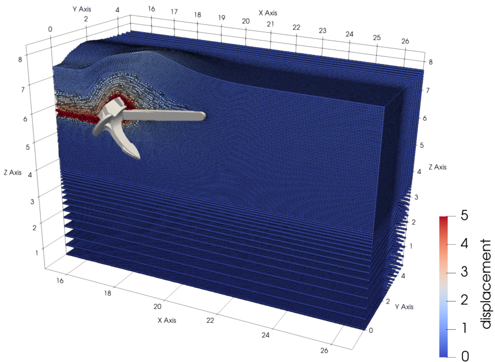
To support this, the project also used physical modelling and advanced numerical modelling to study anchor interaction with different seabed profiles. Durham University’s work with the material point method helped simulate large deformation soil and anchor behaviour, while Dundee’s physical modelling provided experimental evidence of how anchors respond to layered ground.
For offshore wind, interconnectors and telecoms, the lesson is direct. Cable route planning needs realistic shallow ground models, not broad seabed classifications alone. Regional datasets cannot replace project specific investigation, but they can improve early screening, highlight difficult zones and reduce the risk of discovering burial constraints too late.
As offshore infrastructure expands, the North Sea seabed should be treated as a complex engineering material. Better geology at the planning stage means safer cables, fewer installation surprises and more resilient offshore networks.
Sources: www.bgs.ac.uk, newcivilengineer.com, scotsman.com, aberdeenbusinessnews.co.uk
Want to read more like this story?

New crustal stress map of North America
Apr, 23, 2020 | NewsA new study presents the first quantitative stress magnitude map that also includes horizontal stre...

Using Terzaghi’s Equation in Foundation Design
Nov, 25, 2022 | NewsTheoretical models to predict the capacity of helical piles are based on Soil Mechanics and an appr...

Parameters Variation: Model Customization and Sensitivity Analyses
Sep, 15, 2021 | NewsA well-known engineering challenge in the framework of finite element (FE) analysis-based design is...

Repair of massive 50-meter sinkhole in Bangkok enters new challenge after structural breach
Sep, 26, 2025 | NewsIn the early hours of September 26, emergency efforts to stabilize the massive sinkhole in front of...
UK geothermal projects expand from Cornwall power to Birmingham heating
Apr, 16, 2026 | NewsThe United Kingdom is advancing geothermal energy development through a combination of deep geotherm...
Seven Frequently Asked Questions about Helical Piles
Apr, 29, 2026 | NewsHelical piles are a proven deep foundation solution used across commercial, industrial, utility, and...

Block caving: A new mining method arises
Jul, 25, 2018 | NewsBlock caving is a new alternative method of developing new mines or extending the operation of open...

Categories of isolated foundation footings
Jun, 25, 2019 | NewsThe foundation of a building is constructed in order to transfer the superstructure's load to the g...
Maharashtra's longest road tunnel to be completed soon
Oct, 17, 2022 | NewsMaharashtra's longest road tunnel between Igatpuri and Kasara is nearing completion. It is built as...
On This Day
August 3rd 1921
READ MORE
Related Video

Trending
Alert level is raised in Mexico as the Popocatépetl volcano spews ash and gas

Embankment Collapse on NH-66 in Kooriyad Triggers Engineering and Oversight Review

Fehmarnbelt tunnel advances with first element ready for immersion

Geotechnical Engineering 2032 Boom: Trends, Challenges, and Emerging Opportunities
Tailrace tunnel breakthrough advances Australia’s largest renewable project

A Legacy of Leadership, Mentorship & Service: Gary L. Seider P.E.